
Carron Valley Reservoir topographic map
Interactive map
Click on the map to display elevation.
About this map
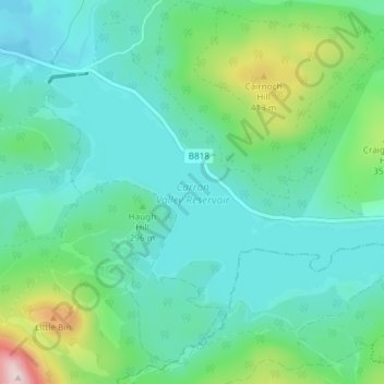
Name: Carron Valley Reservoir topographic map, elevation, terrain.
Location: Carron Valley Reservoir, Stirling, Scotland, United Kingdom (56.02107 -4.13323 56.04663 -4.05925)
Average elevation: 280 m
Minimum elevation: 206 m
Maximum elevation: 558 m
Other topographic maps
Click on a map to view its topography, its elevation and its terrain.
Bannockburn
United Kingdom > Scotland > Stirling > Stirling
Bannockburn, Stirling, Scotland, FK7 8LZ, United Kingdom
Average elevation: 51 m