
Carhuasanta topographic map
Interactive map
Click on the map to display elevation.
About this map
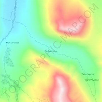
Name: Carhuasanta topographic map, elevation, terrain.
Location: Carhuasanta, Lari, Province of Caylloma, Arequipa, Peru (-15.50164 -71.74136 -15.46164 -71.70136)
Average elevation: 4,906 m
Minimum elevation: 4,683 m
Maximum elevation: 5,224 m