
Hebri topographic map
Interactive map
Click on the map to display elevation.
About this map
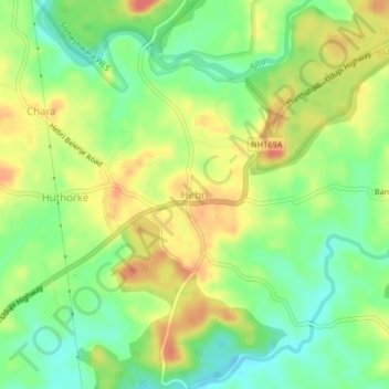
Name: Hebri topographic map, elevation, terrain.
Location: Hebri, Hebri taluku, Udupi District, Karnataka, 576112, India (13.43943 74.97155 13.47943 75.01155)
Average elevation: 65 m
Minimum elevation: 37 m
Maximum elevation: 96 m