
Boljetin topographic map
Interactive map
Click on the map to display elevation.
About this map
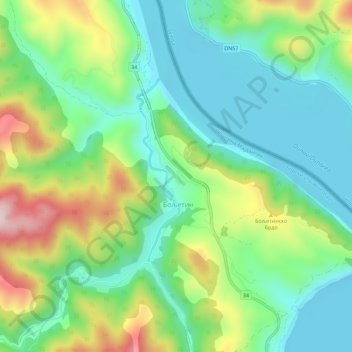
Name: Boljetin topographic map, elevation, terrain.
Location: Boljetin, Bor Administrative District, Central Serbia, Serbia (44.51263 22.01503 44.55263 22.05503)
Average elevation: 187 m
Minimum elevation: 58 m
Maximum elevation: 455 m