
Korolyov topographic map
Interactive map
Click on the map to display elevation.
About this map
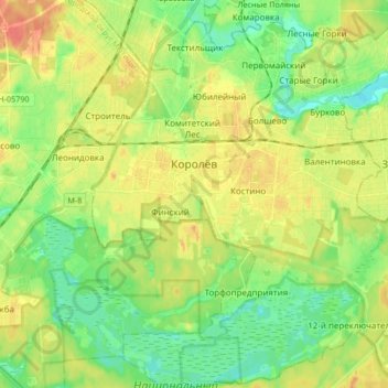
Name: Korolyov topographic map, elevation, terrain.
Location: Korolyov, Moscow Oblast, Central Federal District, Russia (55.86607 37.78789 55.96007 37.94212)
Average elevation: 155 m
Minimum elevation: 135 m
Maximum elevation: 181 m