
Sandon topographic map
Interactive map
Click on the map to display elevation.
About this map
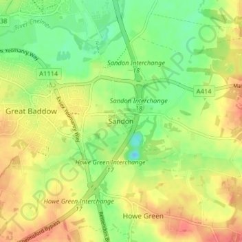
Name: Sandon topographic map, elevation, terrain.
Location: Sandon, Essex, East of England, England, CM2 7RG, United Kingdom (51.69400 0.50399 51.73400 0.54399)
Average elevation: 34 m
Minimum elevation: 6 m
Maximum elevation: 62 m