
Harestua topographic map
Interactive map
Click on the map to display elevation.
About this map
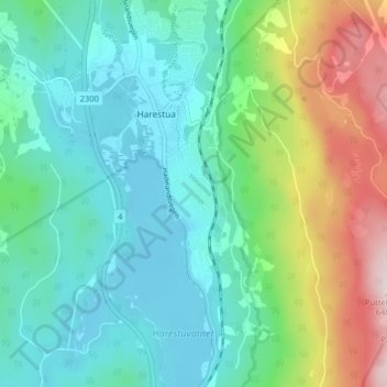
Name: Harestua topographic map, elevation, terrain.
Location: Harestua, Lunner, Oppland, 2743, Norway (60.17836 10.70018 60.21836 10.74018)
Average elevation: 340 m
Minimum elevation: 232 m
Maximum elevation: 640 m