
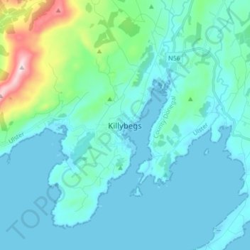
Killybegs topographic map
Interactive map
Click on the map to display elevation.
About this map
Name: Killybegs topographic map, elevation, terrain.
Location: Killybegs, County Donegal, Ireland (54.59623 -8.48426 54.67623 -8.40426)
Average elevation: 65 m
Minimum elevation: -1 m
Maximum elevation: 479 m