
Hickson topographic map
Interactive map
Click on the map to display elevation.
About this map
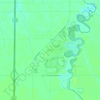
Name: Hickson topographic map, elevation, terrain.
Location: Hickson, Cass County, North Dakota, United States of America (46.64941 -96.83036 46.68941 -96.79036)
Average elevation: 280 m
Minimum elevation: 274 m
Maximum elevation: 283 m