
Xã Long Hiệp topographic map
Interactive map
Click on the map to display elevation.
About this map
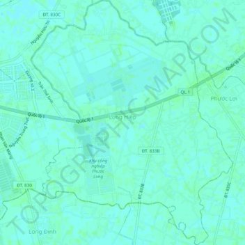
Name: Xã Long Hiệp topographic map, elevation, terrain.
Location: Xã Long Hiệp, Bến Lức District, Long An province, Vietnam (10.60827 106.49956 10.65530 106.53891)
Average elevation: 3 m
Minimum elevation: 0 m
Maximum elevation: 6 m