
Godley topographic map
Interactive map
Click on the map to display elevation.
About this map
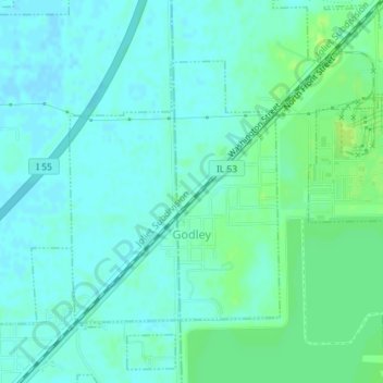
Name: Godley topographic map, elevation, terrain.
Location: Godley, Will County, Illinois, United States (41.23043 -88.25518 41.24893 -88.23540)
Average elevation: 179 m
Minimum elevation: 174 m
Maximum elevation: 187 m