
Aversa topographic map
Interactive map
Click on the map to display elevation.
About this map
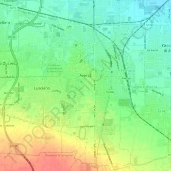
Name: Aversa topographic map, elevation, terrain.
Location: Aversa, CE, Campania, 81031, Italia (40.94920 14.18241 40.99211 14.22688)
Average elevation: 46 m
Minimum elevation: 20 m
Maximum elevation: 83 m