
Bayston Hill topographic map
Interactive map
Click on the map to display elevation.
About this map
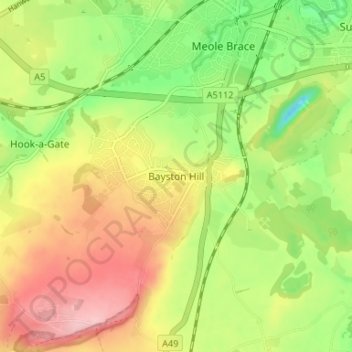
Name: Bayston Hill topographic map, elevation, terrain.
Average elevation: 92 m
Minimum elevation: 18 m
Maximum elevation: 169 m
Other topographic maps
Click on a map to view its topography, its elevation and its terrain.
Bomere Pool
United Kingdom > England > Bayston Hill
Bomere Pool, Bayston Hill, Shropshire, West Midlands, England, United Kingdom
Average elevation: 81 m