
Wauchope topographic map
Interactive map
Click on the map to display elevation.
About this map
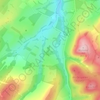
Name: Wauchope topographic map, elevation, terrain.
Location: Wauchope, Scottish Borders, Scotland, TD9 9TG, United Kingdom (55.34768 -2.68061 55.38768 -2.64061)
Average elevation: 239 m
Minimum elevation: 147 m
Maximum elevation: 389 m