
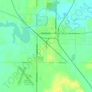
Redfield topographic map
Interactive map
Click on the map to display elevation.
About this map
Name: Redfield topographic map, elevation, terrain.
Location: Redfield, Spink County, South Dakota, United States (44.85375 -98.53586 44.88826 -98.49311)
Average elevation: 396 m
Minimum elevation: 384 m
Maximum elevation: 414 m