
Al Ghat topographic map
Interactive map
Click on the map to display elevation.
About this map
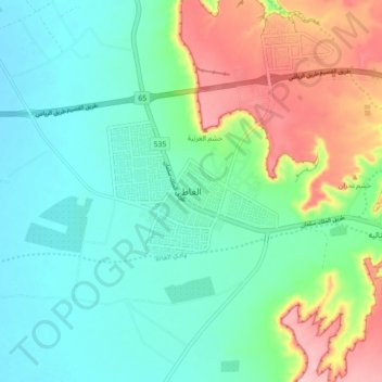
Name: Al Ghat topographic map, elevation, terrain.
Location: Al Ghat, Riyadh Region, Saudi Arabia (25.86861 44.79083 26.18861 45.11083)
Average elevation: 702 m
Minimum elevation: 607 m
Maximum elevation: 836 m