
Jaramanah topographic map
Interactive map
Click on the map to display elevation.
About this map
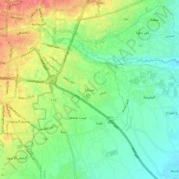
Name: Jaramanah topographic map, elevation, terrain.
Location: Jaramanah, Rif Dimashq, Syria (33.44708 36.30518 33.52708 36.38518)
Average elevation: 666 m
Minimum elevation: 641 m
Maximum elevation: 710 m