
Queen's Parade topographic map
Interactive map
Click on the map to display elevation.
About this map
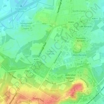
Name: Queen's Parade topographic map, elevation, terrain.
Average elevation: 81 m
Minimum elevation: 62 m
Maximum elevation: 112 m
Other topographic maps
Click on a map to view its topography, its elevation and its terrain.
Ash Lock
United Kingdom > England > Rushmoor > Aldershot
Ash Lock, Aldershot, Rushmoor, Hampshire, South East England, England, GU11 2PS, United Kingdom
Average elevation: 78 m