
Kampung K. Rampayan topographic map
Interactive map
Click on the map to display elevation.
About this map
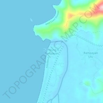
Name: Kampung K. Rampayan topographic map, elevation, terrain.
Location: Kampung K. Rampayan, Sabah, Malaysia (6.50282 116.48231 6.54282 116.52231)
Average elevation: 19 m
Minimum elevation: -5 m
Maximum elevation: 235 m