
Merchtem topographic map
Interactive map
Click on the map to display elevation.
About this map
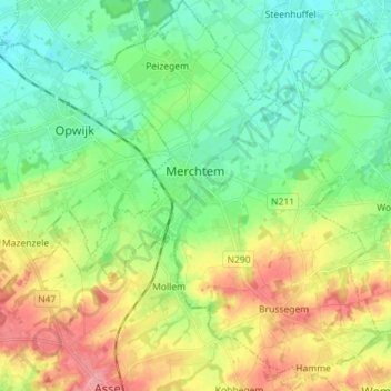
Name: Merchtem topographic map, elevation, terrain.
Location: Merchtem, Flemish Brabant, Flanders, 1785, Belgium (50.90892 4.18149 50.99848 4.30184)
Average elevation: 36 m
Minimum elevation: 7 m
Maximum elevation: 86 m