
Maramasike topographic map
Interactive map
Click on the map to display elevation.
About this map
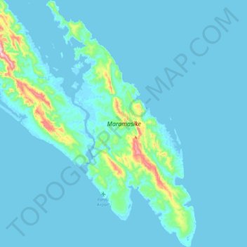
Name: Maramasike topographic map, elevation, terrain.
Location: Maramasike, Malaita Province, Solomon Islands (-9.72899 161.33151 -9.32555 161.58032)
Average elevation: 34 m
Minimum elevation: -2 m
Maximum elevation: 512 m
Other topographic maps
Click on a map to view its topography, its elevation and its terrain.
Malaita Province
Solomon Islands > Malaita Province
Malaita Province, Solomon Islands
Average elevation: 12 m