
Mechtat Btam topographic map
Interactive map
Click on the map to display elevation.
About this map
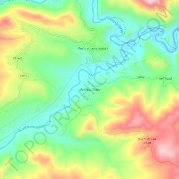
Name: Mechtat Btam topographic map, elevation, terrain.
Location: Mechtat Btam, Rouached, Rouached District, Mila, Algeria (36.47554 5.93635 36.51554 5.97635)
Average elevation: 427 m
Minimum elevation: 252 m
Maximum elevation: 694 m