
Arugam Bay topographic map
Interactive map
Click on the map to display elevation.
About this map
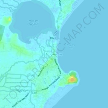
Name: Arugam Bay topographic map, elevation, terrain.
Location: Arugam Bay, Ampara District, Eastern Province, 35200, Sri Lanka (6.81938 81.81276 6.85938 81.85276)
Average elevation: 2 m
Minimum elevation: -2 m
Maximum elevation: 26 m