
Cerro Azul topographic map
Interactive map
Click on the map to display elevation.
About this map
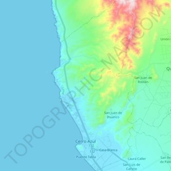
Name: Cerro Azul topographic map, elevation, terrain.
Location: Cerro Azul, Province of Cañete, Lima, Peru (-13.05580 -76.51646 -12.87918 -76.42720)
Average elevation: 114 m
Minimum elevation: 0 m
Maximum elevation: 829 m