
Gundya topographic map
Interactive map
Click on the map to display elevation.
About this map
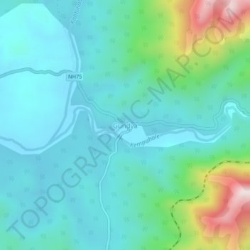
Name: Gundya topographic map, elevation, terrain.
Location: Gundya, Putturu taluk, Dakshina Kannada, Karnataka, India (12.80764 75.55095 12.84764 75.59095)
Average elevation: 236 m
Minimum elevation: 107 m
Maximum elevation: 739 m