
Glasgow topographic map
Interactive map
Click on the map to display elevation.
About this map
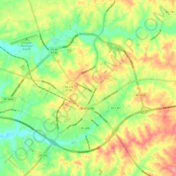
Name: Glasgow topographic map, elevation, terrain.
Location: Glasgow, Barren County, Kentucky, United States of America (36.96067 -85.97616 37.05199 -85.88175)
Average elevation: 230 m
Minimum elevation: 182 m
Maximum elevation: 287 m