
Sierra de San Pedro topographic map
Interactive map
Click on the map to display elevation.
About this map
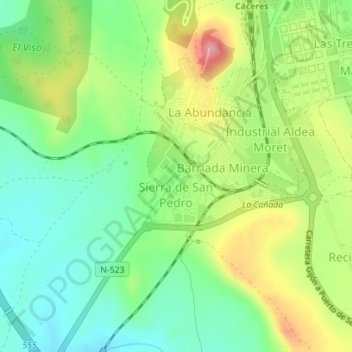
Name: Sierra de San Pedro topographic map, elevation, terrain.
Location: Sierra de San Pedro, Cáceres, Extremadura, Spain (39.44306 -6.39648 39.45109 -6.38594)
Average elevation: 445 m
Minimum elevation: 397 m
Maximum elevation: 519 m
Other topographic maps
Click on a map to view its topography, its elevation and its terrain.