
Gemeinde Birgitz topographic map
Interactive map
Click on the map to display elevation.
About this map
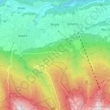
Name: Gemeinde Birgitz topographic map, elevation, terrain.
Location: Gemeinde Birgitz, Bezirk Innsbruck-Land, Tyrol, 6092, Austria (47.19861 11.28572 47.24621 11.31694)
Average elevation: 1,210 m
Minimum elevation: 675 m
Maximum elevation: 2,109 m