
Tatehra topographic map
Interactive map
Click on the map to display elevation.
About this map
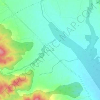
Name: Tatehra topographic map, elevation, terrain.
Location: Tatehra, Amb, Una, Himachal Pradesh, India (31.60676 76.07840 31.64676 76.11840)
Average elevation: 448 m
Minimum elevation: 417 m
Maximum elevation: 536 m