
Bisley topographic map
Interactive map
Click on the map to display elevation.
About this map
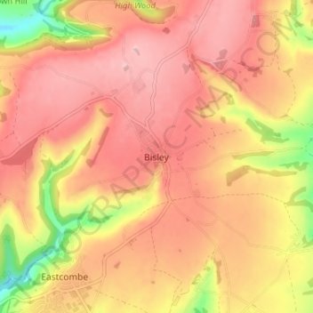
Name: Bisley topographic map, elevation, terrain.
Average elevation: 218 m
Minimum elevation: 106 m
Maximum elevation: 275 m
Other topographic maps
Click on a map to view its topography, its elevation and its terrain.
Bisley
United Kingdom > England > Bisley
Bisley, Surrey, South East, England, GU24 9DU, United Kingdom
Average elevation: 45 m