
Hohe Tauern topographic map
Interactive map
Click on the map to display elevation.
About this map
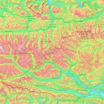
Name: Hohe Tauern topographic map, elevation, terrain.
Location: Hohe Tauern, Salzburg, Austria (46.78095 11.91980 47.32363 13.62356)
Average elevation: 1,492 m
Minimum elevation: 462 m
Maximum elevation: 3,672 m