
Webster County topographic map
Interactive map
Click on the map to display elevation.
About this map
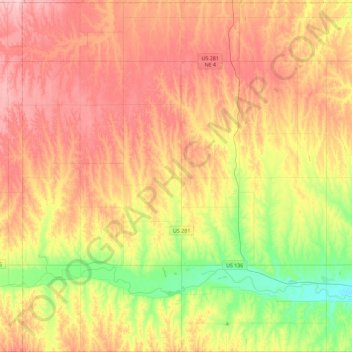
Name: Webster County topographic map, elevation, terrain.
Location: Webster County, Nebraska, United States of America (40.00233 -98.72891 40.35264 -98.27376)
Average elevation: 576 m
Minimum elevation: 494 m
Maximum elevation: 652 m