
Tiedra topographic map
Interactive map
Click on the map to display elevation.
About this map
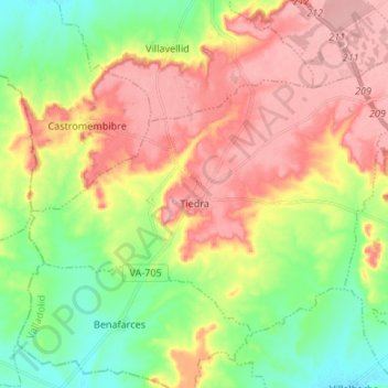
Name: Tiedra topographic map, elevation, terrain.
Location: Tiedra, Tordesillas, Castile and León, 47870, Spain (41.61877 -5.32476 41.69056 -5.19060)
Average elevation: 776 m
Minimum elevation: 721 m
Maximum elevation: 833 m