
Siloh topographic map
Interactive map
Click on the map to display elevation.
About this map
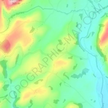
Name: Siloh topographic map, elevation, terrain.
Average elevation: 149 m
Minimum elevation: 64 m
Maximum elevation: 339 m
Other topographic maps
Click on a map to view its topography, its elevation and its terrain.
Llandovery Castle
United Kingdom > Wales > Carmarthenshire > Llandovery
Llandovery Castle, Castle Street, Llandovery, Carmarthenshire, Wales, SA20 0PT, United Kingdom
Average elevation: 92 m