
Highridge topographic map
Interactive map
Click on the map to display elevation.
About this map
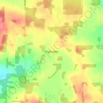
Name: Highridge topographic map, elevation, terrain.
Location: Highridge, Division No. 13, Alberta, Canada (54.01333 -114.15333 54.05333 -114.11333)
Average elevation: 699 m
Minimum elevation: 664 m
Maximum elevation: 727 m
Other topographic maps
Click on a map to view its topography, its elevation and its terrain.
Cherhill
Canada > Alberta > Division No. 13
Cherhill, Division No. 13, Alberta, Canada
Average elevation: 727 m