
Rodenkirchen topographic map
Interactive map
Click on the map to display elevation.
About this map
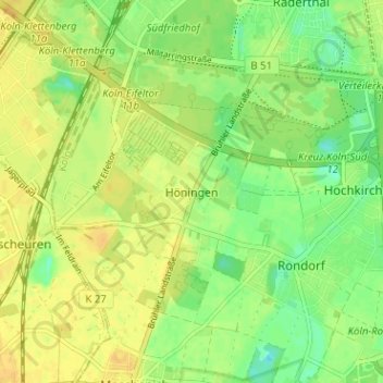
Name: Rodenkirchen topographic map, elevation, terrain.
Average elevation: 54 m
Minimum elevation: 40 m
Maximum elevation: 64 m
Other topographic maps
Click on a map to view its topography, its elevation and its terrain.
Innenstadt
Germany > North Rhine-Westphalia > Cologne > Höningen
Innenstadt, Cologne, Höningen, North Rhine-Westphalia, Germany
Average elevation: 54 m