
Ghagra topographic map
Interactive map
Click on the map to display elevation.
About this map
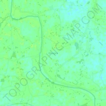
Name: Ghagra topographic map, elevation, terrain.
Location: Ghagra, Mymensingh District, Mymensingh Division, Bangladesh (24.67711 90.35407 24.71711 90.39407)
Average elevation: 14 m
Minimum elevation: 8 m
Maximum elevation: 17 m