
Cowden topographic map
Interactive map
Click on the map to display elevation.
About this map
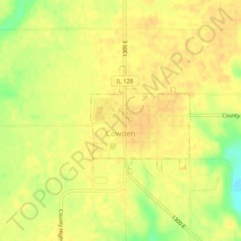
Name: Cowden topographic map, elevation, terrain.
Location: Cowden, Shelby County, Illinois, 62422, United States (39.24368 -88.86664 39.25591 -88.85221)
Average elevation: 180 m
Minimum elevation: 157 m
Maximum elevation: 188 m