
Altenahr topographic map
Interactive map
Click on the map to display elevation.
About this map
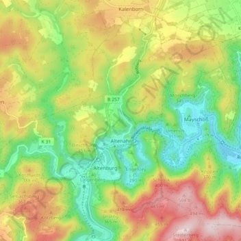
Name: Altenahr topographic map, elevation, terrain.
Location: Altenahr, Landkreis Ahrweiler, Rhineland-Palatinate, Germany (50.49669 6.94020 50.54661 7.02951)
Average elevation: 301 m
Minimum elevation: 128 m
Maximum elevation: 523 m