
Bagour topographic map
Interactive map
Click on the map to display elevation.
About this map
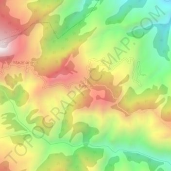
Name: Bagour topographic map, elevation, terrain.
Location: Bagour, Pithoragarh, Uttarakhand, India (29.61562 80.30517 29.65562 80.34517)
Average elevation: 1,522 m
Minimum elevation: 901 m
Maximum elevation: 2,203 m