
Villa Imperial de Potosí topographic map
Interactive map
Click on the map to display elevation.
About this map
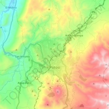
Name: Villa Imperial de Potosí topographic map, elevation, terrain.
Average elevation: 4,048 m
Minimum elevation: 3,367 m
Maximum elevation: 5,017 m