
Arley topographic map
Interactive map
Click on the map to display elevation.
About this map
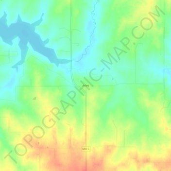
Name: Arley topographic map, elevation, terrain.
Location: Arley, Clay County, Missouri, United States (39.38445 -94.46523 39.42445 -94.42523)
Average elevation: 283 m
Minimum elevation: 262 m
Maximum elevation: 311 m