
Hamat topographic map
Interactive map
Click on the map to display elevation.
About this map
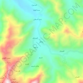
Name: Hamat topographic map, elevation, terrain.
Location: Hamat, Bura District, Al Hudaydah Governorate, Yemen (14.92720 43.42506 14.96720 43.46506)
Average elevation: 625 m
Minimum elevation: 347 m
Maximum elevation: 1,115 m