
Black topographic map
Interactive map
Click on the map to display elevation.
About this map
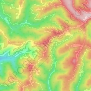
Name: Black topographic map, elevation, terrain.
Location: Black, Wyoming County, West Virginia, United States (37.47400 -81.28371 37.51400 -81.24371)
Average elevation: 868 m
Minimum elevation: 683 m
Maximum elevation: 1,029 m