
Kemalpaşa topographic map
Interactive map
Click on the map to display elevation.
About this map
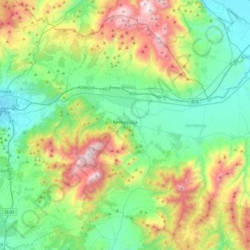
Name: Kemalpaşa topographic map, elevation, terrain.
Location: Kemalpaşa, Çınarköy, Izmir, Aegean Region, Turkey (38.28755 27.32067 38.56030 27.71710)
Average elevation: 463 m
Minimum elevation: 21 m
Maximum elevation: 1,495 m