
Ķeipenes pagasts topographic map
Interactive map
Click on the map to display elevation.
About this map
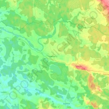
Name: Ķeipenes pagasts topographic map, elevation, terrain.
Location: Ķeipenes pagasts, Ogres novads, Zemgale, Latvia (56.85959 25.02546 56.94963 25.26674)
Average elevation: 99 m
Minimum elevation: 72 m
Maximum elevation: 155 m