
Tarsus topographic map
Interactive map
Click on the map to display elevation.
About this map
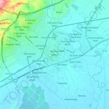
Name: Tarsus topographic map, elevation, terrain.
Location: Tarsus, Mersin, Mediterranean Region, 33440, Turkey (36.87648 34.85515 36.95648 34.93515)
Average elevation: 26 m
Minimum elevation: 5 m
Maximum elevation: 194 m
Other topographic maps
Click on a map to view its topography, its elevation and its terrain.