
Clifford topographic map
Interactive map
Click on the map to display elevation.
About this map
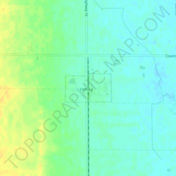
Name: Clifford topographic map, elevation, terrain.
Location: Clifford, Traill County, North Dakota, United States (47.34604 -97.41553 47.35045 -97.40495)
Average elevation: 324 m
Minimum elevation: 315 m
Maximum elevation: 339 m