
Suraithota topographic map
Interactive map
Click on the map to display elevation.
About this map
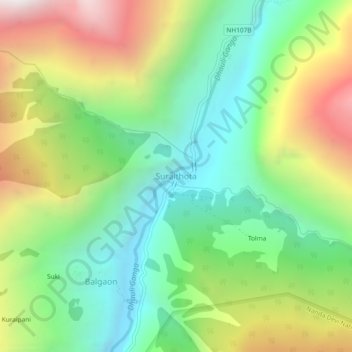
Name: Suraithota topographic map, elevation, terrain.
Location: Suraithota, Joshimath, Chamoli, Uttarakhand, India (30.51101 79.72152 30.55101 79.76152)
Average elevation: 2,804 m
Minimum elevation: 2,114 m
Maximum elevation: 3,938 m