
Musakhel topographic map
Interactive map
Click on the map to display elevation.
About this map
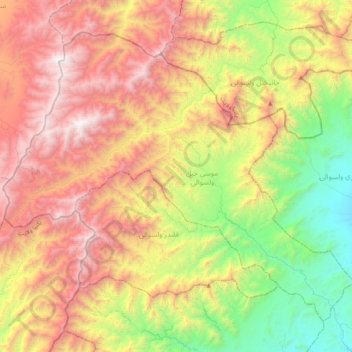
Name: Musakhel topographic map, elevation, terrain.
Location: Musakhel, Khost, Afghanistan (33.41770 69.48449 33.69187 69.88540)
Average elevation: 2,358 m
Minimum elevation: 1,283 m
Maximum elevation: 3,649 m
Other topographic maps
Click on a map to view its topography, its elevation and its terrain.